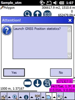
Starts displaying statistical information about the current GNSS positions on the map view and activates the GNSS if it wasn't active. The Statistics tool remains active until you deactivate it by selecting it again in the menu.
The probability whether a position occurs within the horizontal confidence error ellipse is 86,6%.
Displayed GPS statistics on the map view
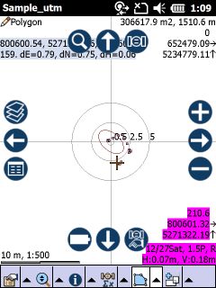
645950.96: averaged Easting coordinate
242396.36: averaged Northing coordinate
170.29: averaged height
42: averaged number of positions
dE: delta East (Easting difference of the Horizontal RMS)
dN: delta North (Northing difference of the Horozintal RMS)
dH: delta Height (Vertical RMS)
![]() The GPS positions can be processed to calculate and display the parameters of the GPS statistics tool if the current GPS position is in accordance with the conditions defined in the Quality filter settings.
The GPS positions can be processed to calculate and display the parameters of the GPS statistics tool if the current GPS position is in accordance with the conditions defined in the Quality filter settings.
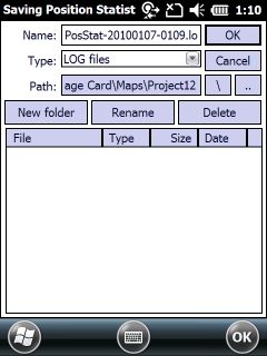
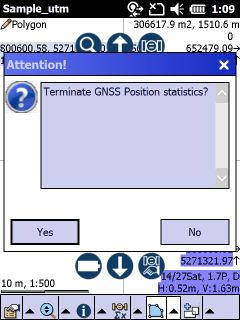
When you deactivate the GPS Statistics tool the Saving Position Statistics File panel appears automatically to save the current position statistics into a LOG file. The LOG file can be added to the map view by using the ![]() Add layer tool.
Add layer tool.
Saving Position Statistics File panel