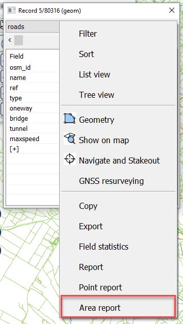
You can print an area measurement report to the selected data record or selected feature through the Print Setup and the Print Area Report panel. You can access to this command in the Menu of the Record panel: Menu > Area report.
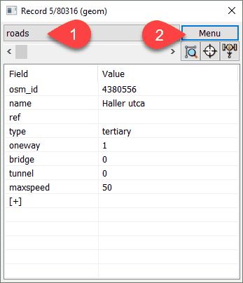
Select data table and data record; open the Menu
Area report option in the Menu
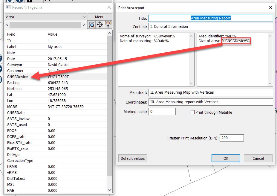
The Print Area report panel
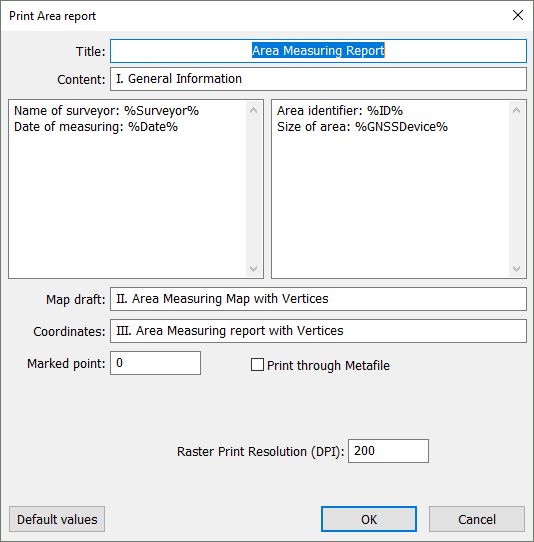
Title: Customizable textual field that will be placed on the printed report as Title. Default Title is 'Area Measuring Report'.
Content: Customizable textual field. Default is 'I. General Information'.
Customizable part of the Area Report: Customizable textual fields. You can print data values to any data fields of the selected record by using the data field name between percents: %FieldName%.
Customizable parts of the Area Report
Map draft: Customizable textual field. Default is 'II. Area Measuring Map with Vertices'.
Coordinates: Customizable textual field. Default is 'III. Area Measuring report with Vertices'.
Marked point: Enter the ordinal number of the vertex you want to mark on the map draft with a flag symbol.
Marked vertex

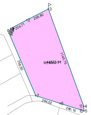
![]() When you open the Print Area Report panel the ordinal numbers and the lengths labels between vertices becomes visible.
When you open the Print Area Report panel the ordinal numbers and the lengths labels between vertices becomes visible.
Ordinal numbers and lengths of a selected area feature
Print through Metafile: Prints through Metafile. This option is recommended to use for some special older printers.
Vector Print: (points, lines, polygons, labels): Uses the Windows graphics device interface (GDI) at the printing. When you want to print only vector layers/symbols Vector Print mode is recommended to use. Raster layers, raster symbols, transparency cannot be printed in this printing mode. Default is Vector Print mode.
Raster Print: (bitmaps, full Map content): When you want to print the full content of the map view (including raster/vector layers and raster symbols) Raster Print mode is recommended to use.
Raster Print Resolution (DPI): You can customize the resolution of the printable map depending on print quality. Default is 200 dpi.
Remember printing mode: Saves and reloads the last selected vector or raster printing mode.
OK - Sends the printable content to the selected Printer.
Cancel - Closes the panel (to select an other record/feature).
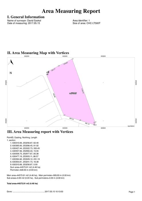
Printed Area Report